
THEALASERMETRY: A HYBRID APPROACH TO DOCUMENTATION OF SITES AND ARTIFACTS
CLAUDE BORG & JOSEPH CANNATACI
2001 | Malta Centre for Restoration | A hybrid methodology for high-accuracy digital surveying
Thealasermetry is a hybrid surveying methodology developed for the digital documentation of architecture and cultural heritage. It combines three complementary technologies—total station surveying, terrestrial laser scanning, and digital photogrammetry—into a single coordinated workflow.
Rather than relying on one surveying technique, the methodology assigns each technology to the tasks it performs best. By combining their individual strengths, the system produces highly accurate, reliable, and comprehensive digital documentation of historic buildings.
AN INTEGRATED SURVEY METHOD
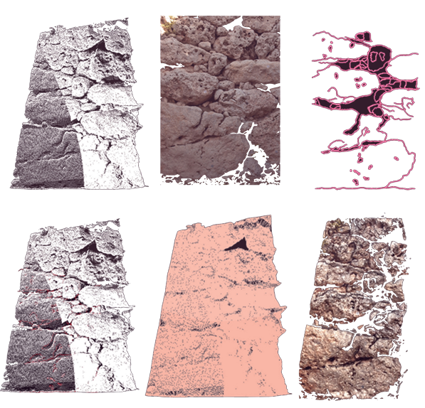
The innovation of Thealasermetry lies not in the individual technologies themselves, but in the way they work together. The total station establishes the primary control network and verifies critical dimensions, laser scanning rapidly captures millions of precise three-dimensional measurements, and digital photogrammetry provides detailed visual information and assists in recording complex architectural features.
This integrated approach creates a survey workflow that delivers greater accuracy and reliability than any single surveying method on its own.
ACCURACY THROUGH CONTINUOUS VERIFICATION
A defining feature of Thealasermetry is its emphasis on independent geometric verification. Unlike many automated workflows that rely solely on software to register point clouds and merge datasets, the methodology introduces continuous quality-control procedures throughout the surveying process.
By systematically checking measurements and validating survey geometry, potential registration errors and geometric distortions are identified and corrected before they become part of the final model. This produces digital documentation that can be trusted for conservation, restoration, research, and long-term heritage management.
The methodology demonstrates that the highest levels of accuracy are achieved not through increased automation, but through the intelligent integration of complementary technologies within a carefully controlled workflow. As a result, Thealasermetry offers a practical, scalable, and high-precision solution for documenting architectural and cultural heritage while balancing efficiency, accuracy, and rigorous geometric control.
READ MORE HERE.